Mountain pass
Paso de Cortés
The pass between Iztaccíhuatl and Popocatépetl, and the registration point where every route into the park begins.
At a glance
- Kind
- Mountain pass
- Getting there
- 2 hours from Mexico City
What to bring
- Sturdy shoes with a good grip
- Layers for the altitude and the wind
- Water and a snack for the trail
- A downloaded route for when there is no signal
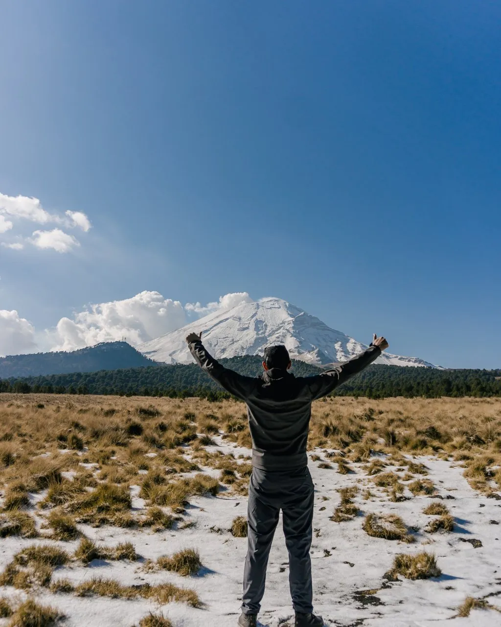
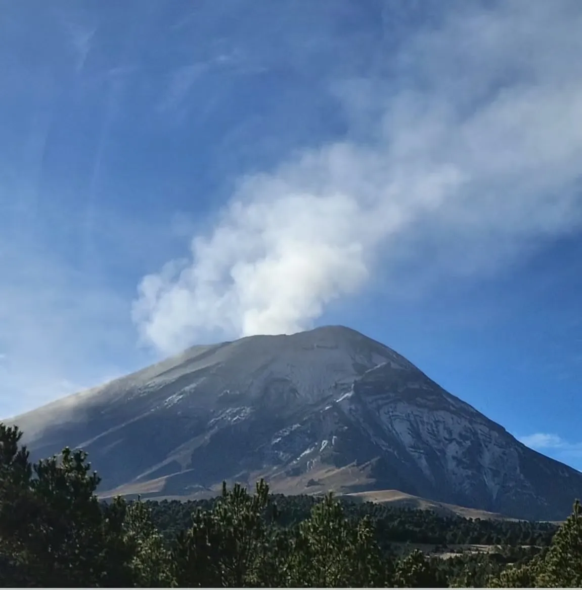
Paso de Cortés sits in the saddle between Iztaccíhuatl and Popocatépetl, about two hours from Mexico City, and it is where the national park registers you before any hike starts. On the sunset tour we arrive in the afternoon, complete registration, and get the introduction to the park, the volcanoes and the route before setting off.
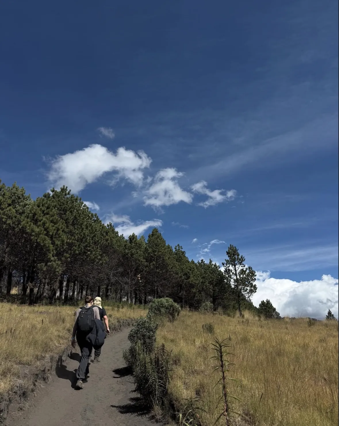
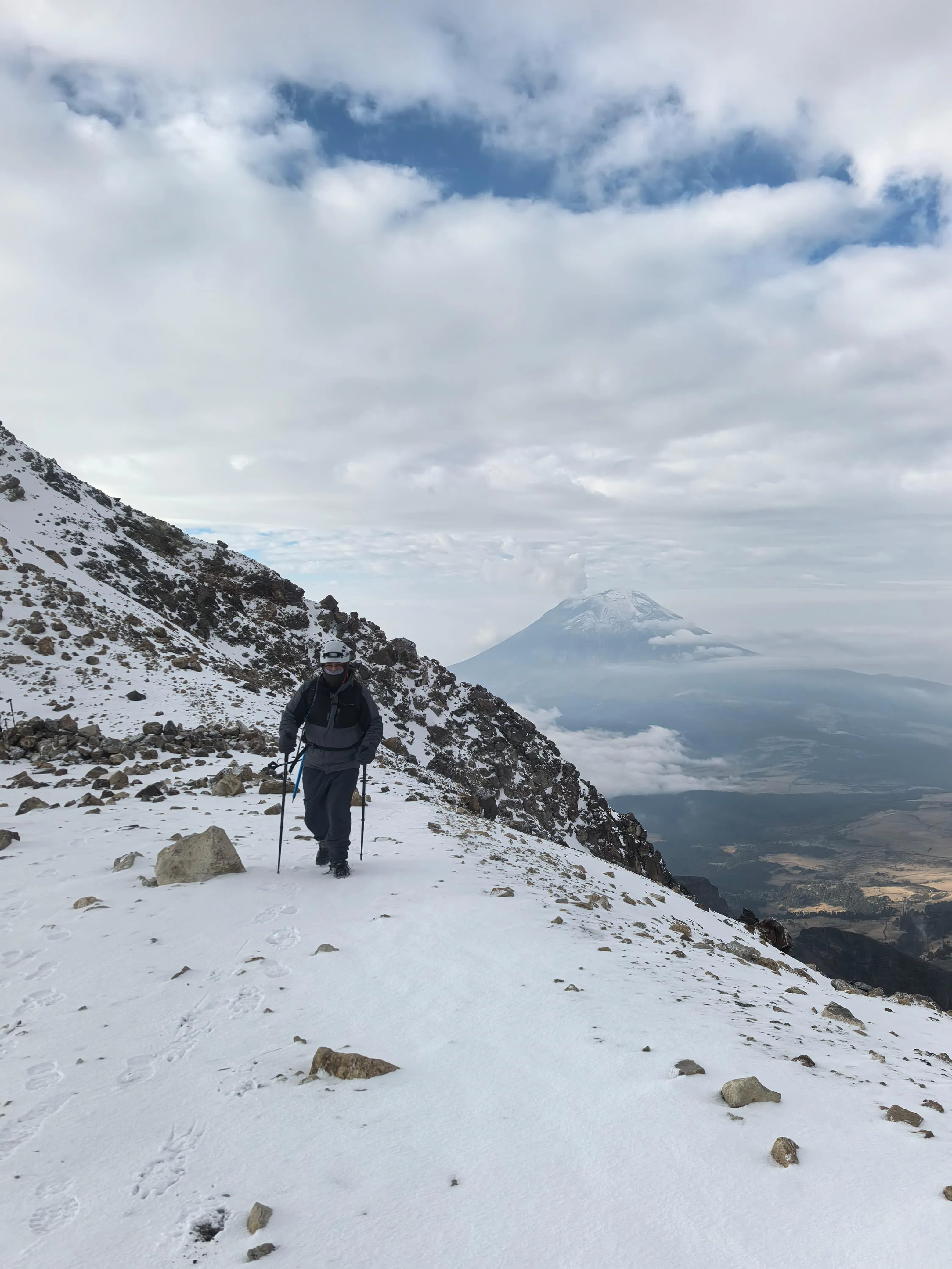
From here the trails climb into high-altitude landscape: open sky above 3,900 meters, pine forest below, and Popocatépetl close enough that you watch it work. It is also where the walk to La Joya and the walk to La Joyita begin.
Good to know
- Park registration and entrance are handled by your guide
- Weather changes quickly in the pass, layers are essential
- Cell signal is unreliable; download your route before you leave the city
More destinations
The rest of the map, from the pass between the volcanoes to the mountains of Oaxaca. Transportation and a certified guide are always included.
All destinations